Moving to the field of Aerial survey and photography for generating high resolution orthophoto maps. I’m currently focusing on smaller projects where consumer range drones should be sufficient. So after brief introduction to drone flying, setting waypoints and ground control points (GCP), adjusting camera, I was ready for a test.
My gear
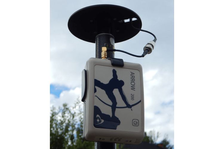
EOS Arrow 200 GNSS receiver
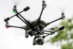
Typhoon H hexacopter with CGO3+ integrated camera
Area
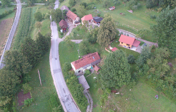
Test area is about 175x200m with high vegation, some buildings and rugged terrain, so not the easiest example.
Before flying I setup 5 ground targets and survey their location with EOS Arrow 200 GNSS receiver.
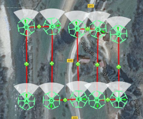
I set the path with flying altitude 40m above ground. So the drone was flying by itself, but I had to capture photos manually since Typhoon H doesn’t have any other option. I finished with 77 pictures.
Software
For generating orthophoto I decided to test 3DSurvey software and DroneDeploy webservice to compare results. That was only thing I compared here, I wasn’t looking at different approaches, pricing plans or other features they are offering.
It’s standalone application so you need to process photos on your own machine. In trial version you get complete application without limitations for 14 days. I’m using standard laptop (Core i3, 1.7GHz and 4GB memory) and still managed to get results in couple of hours.
User interface is very straightforward and with nice semi automated wizzards, so basically you manage things with couple of clicks, but it’s still very good idea to look at tutorials published on their site.
3Dsurvey team advices you to use ground control points instead of EXIF GPS data, so I did that.
Main advantage is that you are in control of whole process, so you can for example manually correct point cloud to remove parts that are not terrain (vegetation, buldings,…) and you can recalculate some smaller parts of orthophoto to select best available picture.
Result (pan and zoom map with mouse and scroller)
3Dsurvey Orthophoto map (2cm resolution)
In trial you are limited to maximum resolution 5cm per pixel and you can only use EXIF data for location of every image, without ground control points. It’s very simple, you just upload your photos and wait for email that orthophoto is ready. That’s it, but on the other hand you can’t adjust any parameters or some parts like you can with own software.
Result
DroneDeploy Orthophoto map (5cm resolution)
Conclusion
I’m quite satisfied with this test, although that is far from perfect. There are couple of mistakes, which I need to correct on next flight. Most important is to fly higher and capture images with more overlap. I also need to adjust some camere settings like white balance and shutter speed.
As for comparing 3Dsurvey and DroneDeploy look for the examples. Position accuracy is much better when using ground control points and overall I prefer own software solution for complete control over the process instead of web service.
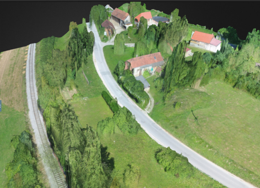
Nice 3D model generated from Point Cloud

