Geographic Information Systems (GIS) and Geoinformatics
- Data capture, process, optimize and visualize
- Training, support and consulting
- Development of custom solutions
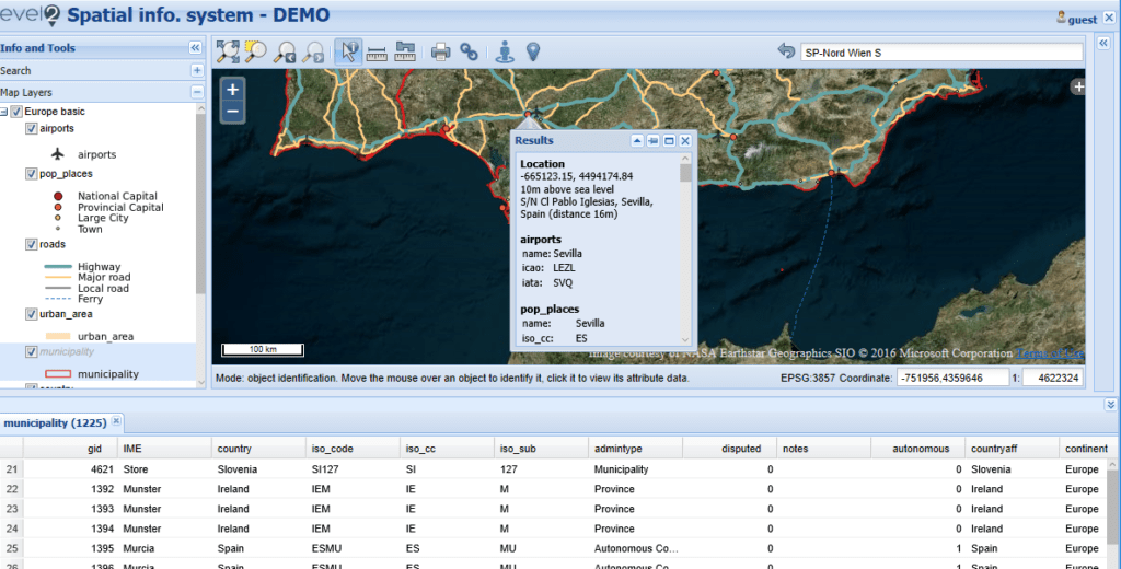
Cartography
Everything from print and wall maps to webmapping solutions.
Aerial Surveying
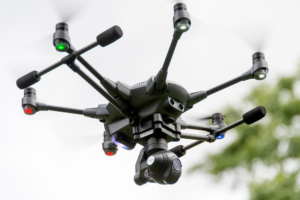
New surveying techniques with professional Drone and Photogrammetry Software.
