It’s been a while since this post, so I decided to write some update about current status and future of this project.
Project is still alive and under development with exciting new features coming soon. Read more below.
Coming up in 2017
Current release is 1.3.9 and it is more focusing on fixing some problems and better error reporting to the user with some features preparing for release 1.4 which is scheduled this Month. You can get list of new stuff in Github Milestone for release 1.4. I invite you to collaborate to the project on Github.
Most important change of release 1.4 is to support optional commercial or free plugins and first plugin to be released also this Month is Editing plugin.
Features of Editing plugin
1. Edit attributes and geometry of any layer in QGIS project:
2. Basic editing tasks:
3. Advanced Geometry tasks:
4. Auto Calculated fields:
New features in 2016
Just a short info of new features added last year:
Mobile client
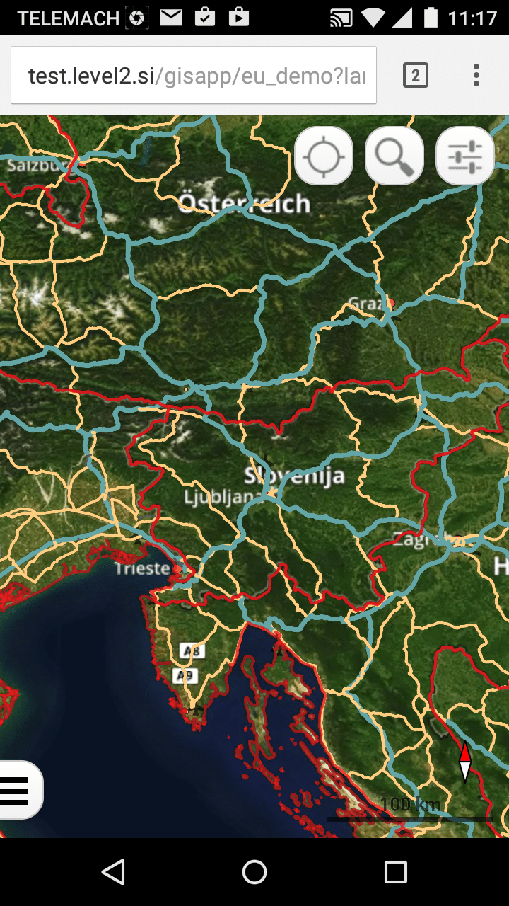
Integration of OpenLayers 3 Mobile Client. On the client side we now have 2 different map viewers, one standard web viewer and one for devices with smaller screen sizes. On the server side both use same settings from QGIS project and database, meaning you set up your project once.

External location services
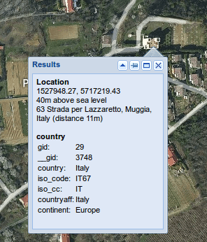
These services can give you location of searched address (Geocode) or nearest address and elevation for defined location. Original QWC had Geonames search combo which was replaced for using more powerful providers.

